Photo by Peter Nijenhuis
Uluru, or Ayers Rock, is a large sandstone rock formation in the southern part of the Northern Territory, central Australia. Uluru is an inselberg, literally "island mountain", an isolated remnant left after the slow erosion of an original mountain range. The rock is about 350 m in its height, more than 3.5 km in length and almost 3 km in its widest part. It is notable for appearing to change colour as the different light strikes it at different times of the day and year, with sunset a particularly remarkable sight when it briefly glows red. Although rainfall is uncommon in this semiarid area, during wet periods the rock acquires a silvery-grey colour, with streaks of black algae forming on the areas that serve as channels for water flow.
The word Uluru has no particular meaning in the language of local aboriginal tribe of Pitjantjatjara. In 1873, the surveyor William Gosse named it Ayers Rock in honour of the then-Chief Secretary of South Australia, Sir Henry Ayers. Since then, both names have been used, although Ayers Rock was the most common name used by outsiders until recently.
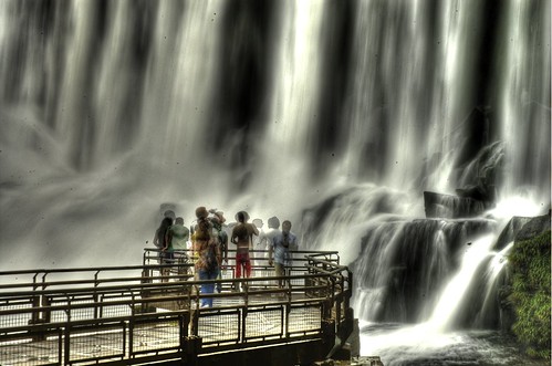
The development of tourism infrastructure adjacent to the base of Uluru that began in the 1950s soon produced adverse environmental impacts. It was decided in the early 1970s to remove all accommodation-related tourist facilities and re-establish them outside the park. Climbing Uluru is a popular attraction for visitors. A chain handhold makes the hour-long climb easier, but it is still a long (800 m/0.5 mi) and steep hike to the top, where it can be quite windy. An above-average level of fitness and a high tolerance to desert conditions is required. In 2009, the Australian government indicated that climbing Uluru may no longer be allowed. Uluru is sacred to the Pitjantjatjara and Yankunytjatjara, the Aboriginal people of the area. Hence, the visitors are not allowed to photograph certain sections of Uluru, for reasons related to traditional Tjukurpa beliefs. [read the full article at Wikipedia]
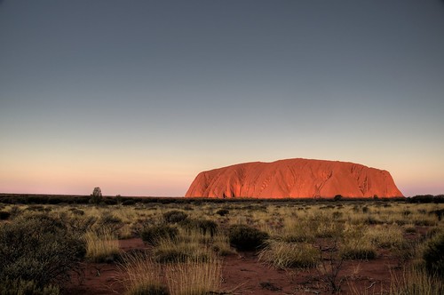
Photo by nosha
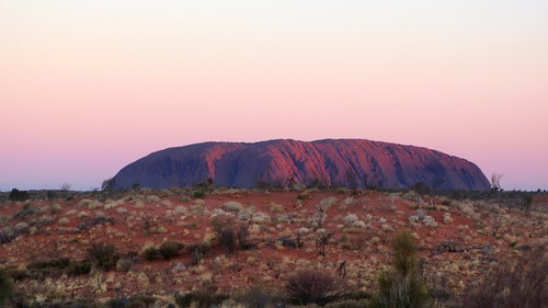
Photo by rumpleteaser
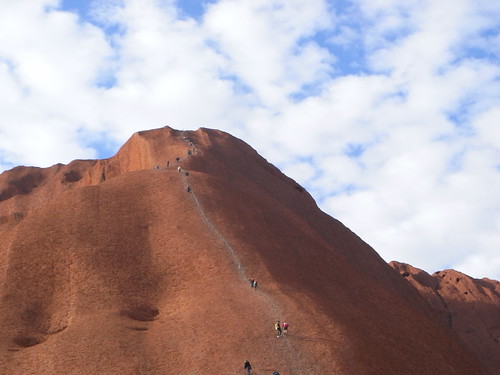
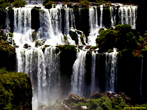
Photo by Masao.M
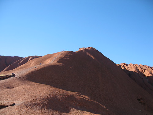
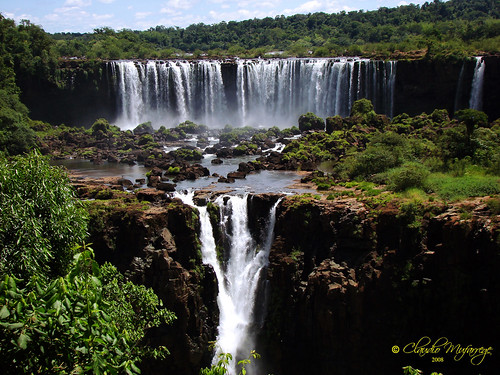
Photo by bunnicula
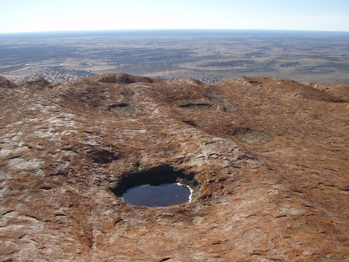
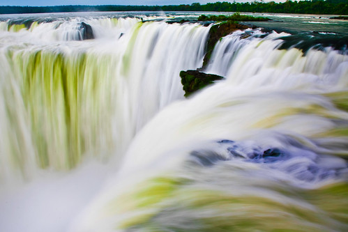
Photo by Sheep"R"Us
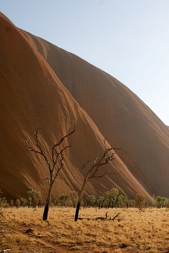
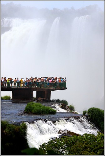
Photo by jonny_w
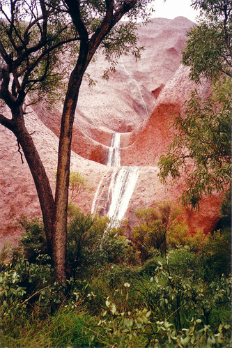
Photo by apurdam (Andrew)

Photo by The guenni

Photo by luckyrob
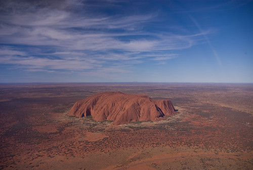
Photo by Corey Leopold
Satellite view

Coordinates: 25°20'37.98"S 131°1'55.62"E
Nearest big city: Alice Springs (335 km)
Best time for visiting: April-May, October-November, sunrise/sunset
Official website: www.environment.gov.au/parks/uluru
Visiting this attraction also see other amazing places located nearby
If you love this attraction and want to go there one day you can tell all your friends about your dream by copying and pasting this html-code to your blog:
**************************************************
Hey! I've found an interesting article about this place at <a href="http://wowtravelblog.blogspot.com/">WOW!Travel</a> blog. I absolutely love it and want to visit it one day. Join me! <br/><br/><a href="http://wowtravelblog.blogspot.com/2009/08/uluru-ayers-rock-australia.html">Uluru (Ayers Rock), Australia<br/><img src="http://farm1.static.flickr.com/74/199756027_6d5079d7a2.jpg" /></a><br/>(Photo by <a href="http://www.flickr.com/photos/peternijenhuis/">Peter Nijenhuis</a>)<br/><br/>See more photos and read the story about this place <a href="http://wowtravelblog.blogspot.com/2009/08/uluru-ayers-rock-australia.html">here</a>.
**************************************************
If you liked this place or have already been to it please comment.
If you know some other amazing places that will make the readers say WOW! please email me at wowtravel @ mail.ru. Feel free to contact me if you’re interested in cooperation.