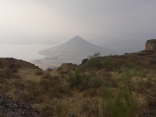
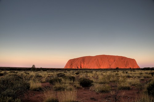
Photo by Alexey Ushakov
Bell Tower of St. Nicholas Church is a historical and architectural monument located on artificial island in Uglich reservoir 200 meters away from the bank of Kalyazin town, Tver region, Russia. The Bell Tower was constructed in 1800 and was a part of Nikolo-Zhabensky monastery. In 1930s under the project of creating Uglich reservoir and Uglich hydroelectric power plant on Volga river Nikolskiy monastery was demolished and the Bell Tower was partly flooded. Later its foundation was reinforced and a little artificial island with a berth was built around the Tower. The Tower rises 75 meters high (approx. 25-store building). The Tower has always been a main local landmark attracting tourists throughout the year.

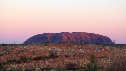
Photo by Volchv

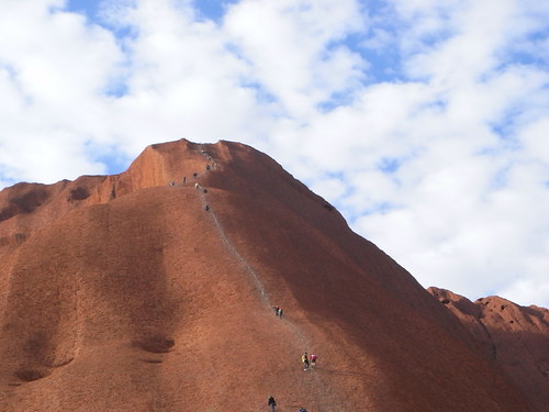
Photo by *christopher*

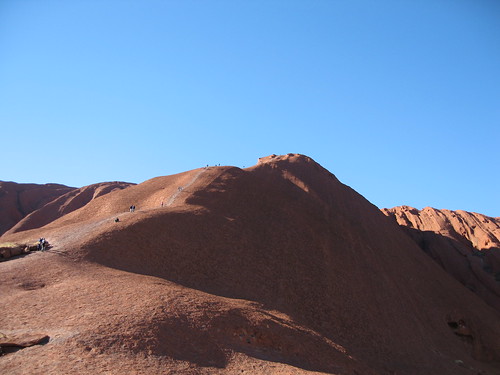
Photo by Sergey Ashmarin

Photo by SergeLab

Photo by onepamop

Photo by Dmitry Tarasov

Photo by Vanchouzzz

Photo by Sergey Ashmarin

Photo by Sergey Ashmarin

Photo by Letchik_V
Satellite view

Coordinates: 57°14'36.61"N 37°51'26.31"W
Nearest big city: Moscow (170 km)
Best time for visiting: any time of the year
Official website: www.kalyazin.ru
Visiting this attraction also see other amazing places located nearby
If you love this attraction and want to go there one day you can tell all your friends about your dream by copying and pasting this html-code to your blog:
**************************************************
Hey! I've found an interesting article about this place at <a href="http://wowtravelblog.blogspot.com/">WOW!Travel</a> blog. I absolutely love it and want to visit it one day. Join me! <br/><br/><a href="http://wowtravelblog.blogspot.com/2009/10/bell-tower-of-st-nicholas-church.html ">Bell Tower of St. Nicholas Church, Kalyazin, Russia<br/><img src="http://mw2.google.com/mw-panoramio/photos/medium/16317295.jpg"/></a><br/>(Photo by <a href="http://www.panoramio.com/user/2501086/">Alexey Ushakov</a>)<br/><br/>See more photos and read the story about this place <a href="http://wowtravelblog.blogspot.com/2009/10/bell-tower-of-st-nicholas-church.html">here</a>.
**************************************************
If you liked this place or have already been to it please comment.
If you know some other amazing places that will make the readers say WOW! please email me at wowtravel @ mail.ru. Feel free to contact me if you’re interested in cooperation.